
Winnersh topographic map
Click on the map to display elevation.
About this map
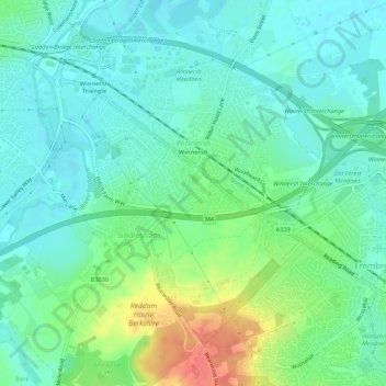
Name: Winnersh topographic map, elevation, terrain.
Location: Winnersh, Borough of Wokingham, England, United Kingdom (51.41294 -0.90431 51.43997 -0.85001)
Average elevation: 50 m
Minimum elevation: 35 m
Maximum elevation: 85 m
Borough of Wokingham trails, hiking, mountain biking, running and outdoor activities
Other topographic maps
Click on a map to view its topography, its elevation and its terrain.
Ryeish Green
United Kingdom > England > Borough of Wokingham > Three Mile Cross
Average elevation: 49 m
Mereoak Park
United Kingdom > England > Borough of Wokingham > Three Mile Cross
Average elevation: 48 m