
戴庄 topographic map
Interactive map
Click on the map to display elevation.
About this map
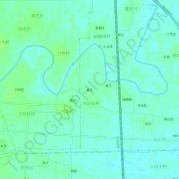
Name: 戴庄 topographic map, elevation, terrain.
Location: 戴庄, 圪垯庙村, 长葛市, 许昌市, 河南省, 中国 (34.21764 113.86778 34.25764 113.90778)
Average elevation: 84 m
Minimum elevation: 80 m
Maximum elevation: 89 m