
Canton topographic map
Interactive map
Click on the map to display elevation.
About this map
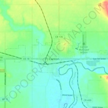
Name: Canton topographic map, elevation, terrain.
Average elevation: 392 m
Minimum elevation: 373 m
Maximum elevation: 440 m
Other topographic maps
Click on a map to view its topography, its elevation and its terrain.
Lennox
United States > South Dakota > Lincoln County
Lennox, Perry Township, Lincoln County, South Dakota, United States
Average elevation: 408 m
Harrisburg
United States > South Dakota > Lincoln County
Harrisburg, LaValley Township, Lincoln County, South Dakota, United States
Average elevation: 432 m