
16037 topographic map
Interactive map
Click on the map to display elevation.
About this map
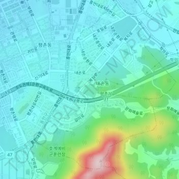
Name: 16037 topographic map, elevation, terrain.
Location: 16037, Naeson 1-dong, Uiwang-si, Gyeonggi, South Korea (37.38110 126.97665 37.38120 126.97675)
Average elevation: 98 m
Minimum elevation: 36 m
Maximum elevation: 362 m