
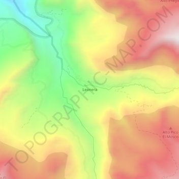
Leonera topographic map
Interactive map
Click on the map to display elevation.
About this map
Name: Leonera topographic map, elevation, terrain.
Average elevation: 3,481 m
Minimum elevation: 2,921 m
Maximum elevation: 3,971 m
Other topographic maps
Click on a map to view its topography, its elevation and its terrain.
Libertadores
Colombia > Boyacá > Tasco > Libertadores
Libertadores, Tasco, Valderrama, Boyacá, 151640, Colombia
Average elevation: 2,473 m