
Kabilpur topographic map
Interactive map
Click on the map to display elevation.
About this map
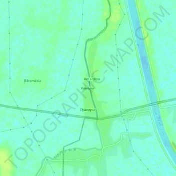
Name: Kabilpur topographic map, elevation, terrain.
Location: Kabilpur, Pakaur, Jharkhand, India (24.62418 87.89204 24.66418 87.93204)
Average elevation: 23 m
Minimum elevation: 18 m
Maximum elevation: 30 m
Other topographic maps
Click on a map to view its topography, its elevation and its terrain.