
Alfamén topographic map
Interactive map
Click on the map to display elevation.
About this map
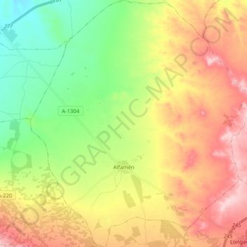
Name: Alfamén topographic map, elevation, terrain.
Location: Alfamén, Campo de Cariñena, Zaragoza, Aragon, 50461, Spain (41.40005 -1.30266 41.51762 -1.16093)
Average elevation: 461 m
Minimum elevation: 352 m
Maximum elevation: 593 m