
Spāres ezers topographic map
Interactive map
Click on the map to display elevation.
About this map
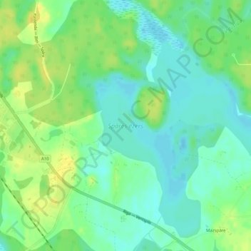
Name: Spāres ezers topographic map, elevation, terrain.
Location: Spāres ezers, Ģibuļu pagasts, Talsu novads, Courland, Latvia (57.20278 22.29214 57.22698 22.33200)
Average elevation: 33 m
Minimum elevation: 23 m
Maximum elevation: 46 m