
Thorpe Lea topographic map
Interactive map
Click on the map to display elevation.
About this map
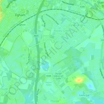
Name: Thorpe Lea topographic map, elevation, terrain.
Average elevation: 16 m
Minimum elevation: 8 m
Maximum elevation: 31 m
Other topographic maps
Click on a map to view its topography, its elevation and its terrain.
Bourne Copse
United Kingdom > England > Runnymede
Bourne Copse, M3, Wentworth Estate, The Red Cottage, Runnymede, Surrey, South East, England, GU25 4ET, United Kingdom
Average elevation: 29 m