
辖曼种羊场 topographic map
Interactive map
Click on the map to display elevation.
About this map
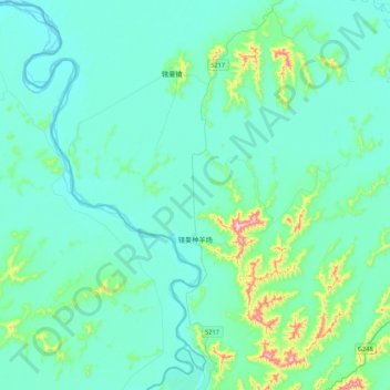
Name: 辖曼种羊场 topographic map, elevation, terrain.
Location: 辖曼种羊场, 若尔盖县, 阿坝藏族羌族自治州, 四川省, 中国 (33.51677 102.40839 33.71028 102.83415)
Average elevation: 3,460 m
Minimum elevation: 3,415 m
Maximum elevation: 3,784 m
Other topographic maps
Click on a map to view its topography, its elevation and its terrain.