
Kayu Ara Pasong topographic map
Interactive map
Click on the map to display elevation.
About this map
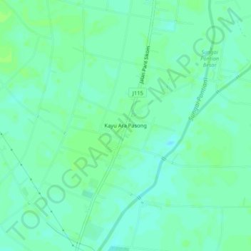
Name: Kayu Ara Pasong topographic map, elevation, terrain.
Location: Kayu Ara Pasong, Pontian, Johor, 82000, Malaysia (1.53796 103.38157 1.57796 103.42157)
Average elevation: 6 m
Minimum elevation: 1 m
Maximum elevation: 10 m