
Oranienburg topographic map
Interactive map
Click on the map to display elevation.
About this map
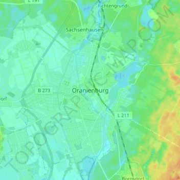
Name: Oranienburg topographic map, elevation, terrain.
Location: Oranienburg, Oberhavel, Brandenburg, 16515, Germany (52.71294 13.20576 52.79294 13.28576)
Average elevation: 39 m
Minimum elevation: 31 m
Maximum elevation: 61 m