
Provincia de Chupaca topographic map
Interactive map
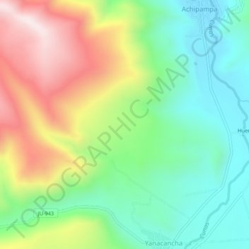
Click on the map to display elevation.
About this map
Name: Provincia de Chupaca topographic map, elevation, terrain.
Location: Provincia de Chupaca, Yanacancha, Chupaca, Junín, Perú (-12.20210 -75.41342 -12.16210 -75.37342)
Average elevation: 4,009 m
Minimum elevation: 3,735 m
Maximum elevation: 4,457 m
Other topographic maps
Click on a map to view its topography, its elevation and its terrain.