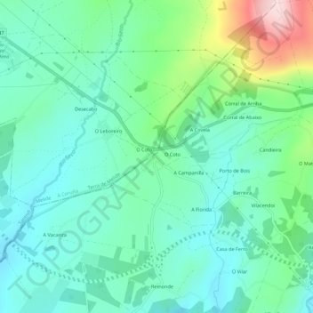
O Coto de Orosa topographic map
Interactive map
Click on the map to display elevation.
About this map
Name: O Coto de Orosa topographic map, elevation, terrain.
Average elevation: 473 m
Minimum elevation: 398 m
Maximum elevation: 702 m

Click on the map to display elevation.
Name: O Coto de Orosa topographic map, elevation, terrain.
Average elevation: 473 m
Minimum elevation: 398 m
Maximum elevation: 702 m