
Iecēni topographic map
Click on the map to display elevation.
About this map
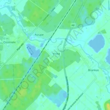
Name: Iecēni topographic map, elevation, terrain.
Location: Iecēni, Aizupe, Jelgavas novads, Zemgale, LV-3018, Latvia (56.66556 23.79556 56.70556 23.83556)
Average elevation: 5 m
Minimum elevation: -3 m
Maximum elevation: 19 m