
Goodrich topographic map
Interactive map
Click on the map to display elevation.
About this map
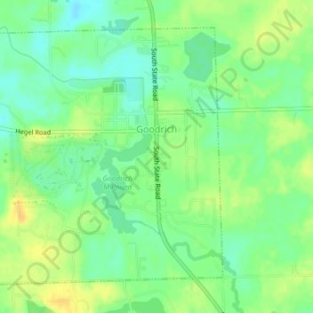
Name: Goodrich topographic map, elevation, terrain.
Location: Goodrich, Genesee County, Michigan, 48438, USA (42.90365 -83.52418 42.92592 -83.49385)
Average elevation: 271 m
Minimum elevation: 258 m
Maximum elevation: 284 m