
Square Planchon topographic map
Interactive map
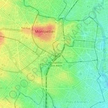
Click on the map to display elevation.
About this map
Name: Square Planchon topographic map, elevation, terrain.
Average elevation: 31 m
Minimum elevation: 8 m
Maximum elevation: 62 m
Other topographic maps
Click on a map to view its topography, its elevation and its terrain.
Montpellier
Francia > Occitania > Hérault > Montpellier
Montpellier, Hérault, Occitania, Francia metropolitana, 34062, Francia
Average elevation: 72 m