
ميعانة topographic map
Interactive map
Click on the map to display elevation.
About this map
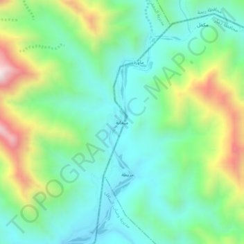
Name: ميعانة topographic map, elevation, terrain.
Location: ميعانة, Al Jaafariyah, Gouvernorat de Raima, Yémen (14.43217 43.62758 14.47217 43.66758)
Average elevation: 782 m
Minimum elevation: 518 m
Maximum elevation: 1,395 m