
Bangka topographic map
Interactive map
Click on the map to display elevation.
About this map
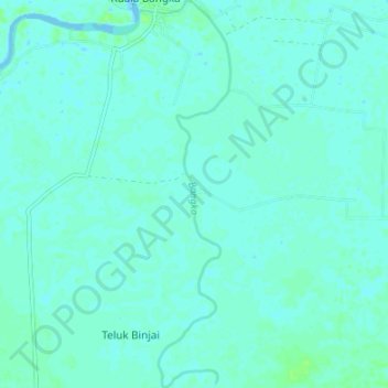
Name: Bangka topographic map, elevation, terrain.
Location: Bangka, Labuhanbatu Utara, Sumut, Indonesia (2.44555 99.94761 2.51283 99.96416)
Average elevation: 3 m
Minimum elevation: -4 m
Maximum elevation: 9 m
Other topographic maps
Click on a map to view its topography, its elevation and its terrain.