Geolocate

Morpeth topographic map

Click on the map to display elevation.

Morpeth

Cockle Park, located slightly north of Morpeth, contains a Met Office weather station, founded in 1897. The following table shows the climate data of the station from 1971–2000, recorded at 95 metres (312 ft) elevation.

About this map

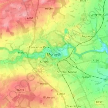
Name: Morpeth topographic map, elevation, terrain.

Location: Morpeth, Northumberland, North East England, England, NE61 1HE, United Kingdom (55.12754 -1.73074 55.20754 -1.65074)

Average elevation: 70 m

Minimum elevation: 10 m

Maximum elevation: 136 m

England trails, hiking, mountain biking, running and outdoor activities

Gear up for your next adventure:

🔋Power Banks - Portable chargers for long outdoor trips
GPS Outdoor Watches - Watches with GPS tracking for hiking and exploration
Lightweight Solo Tents - Backpacking tents designed for wild camping in the UK highlands
📚UK Hiking Guidebooks - Detailed route descriptions for the Lake District, Peaks, and Highlands
🌄Outdoor Binoculars - Compact binoculars for landscape observation

As an Amazon Associate, this site earns from qualifying purchases at no extra cost to you.