Geolocate

Vellimadukunnu topographic map

Interactive map

Click on the map to display elevation.

About this map

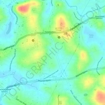
Name: Vellimadukunnu topographic map, elevation, terrain.

Location: Vellimadukunnu, Kozhikode, Kozhikode District, Kerala, India (11.28006 75.81180 11.29527 75.83377)

Average elevation: 27 m

Minimum elevation: 5 m

Maximum elevation: 69 m

Other topographic maps

Click on a map to view its topography, its elevation and its terrain.

Chevayur

India > Kerala > Kozhikode > Kozhikode

Chevayur, Kozhikode, Kozhikode district, Kerala, 673017, India

Average elevation: 32 m

Velliparamba

India > Kerala > Kozhikode > Kozhikode > Velliparamba

Velliparamba, Kozhikode, Kozhikode district, Kerala, 673 016, India

Average elevation: 30 m

Kuthiravattom

India > Kerala > Kozhikode > Kozhikode > Pottammal

Kuthiravattom, Pottammal, Kozhikode, Kozhikode district, Kerala, 670016, India

Average elevation: 17 m

Chevarambalam

India > Kerala > Kozhikode > Kozhikode

Chevarambalam, NGO Quarters, Kozhikode, Kozhikode district, Kerala, India

Average elevation: 23 m