
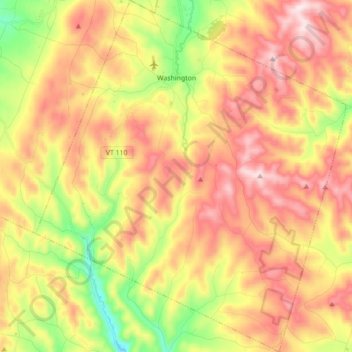
Washington topographic map
Interactive map
Click on the map to display elevation.
About this map
Name: Washington topographic map, elevation, terrain.
Location: Washington, Orange County, Vermont, United States (44.00816 -72.50242 44.13334 -72.34878)
Average elevation: 510 m
Minimum elevation: 264 m
Maximum elevation: 730 m
Other topographic maps
Click on a map to view its topography, its elevation and its terrain.