
Thank you for supporting this site ❤️
Make a donation
Make a donation
Gear up for your next adventure:
As an Amazon Associate, this site earns from qualifying purchases at no extra cost to you.
Huayuankou topographic map
Click on the map to display elevation.
Thank you for supporting this site ❤️
Make a donation
Make a donation
Gear up for your next adventure:
As an Amazon Associate, this site earns from qualifying purchases at no extra cost to you.
About this map
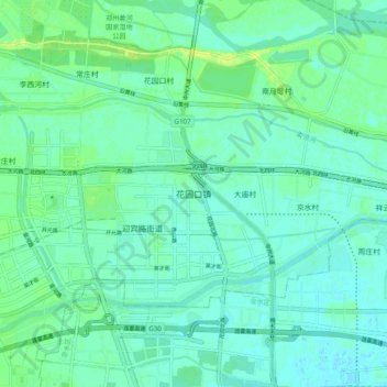
Name: Huayuankou topographic map, elevation, terrain.
Location: Huayuankou, Zhengzhou, 金水区, Henan, China (34.83605 113.62618 34.91605 113.70618)
Average elevation: 91 m
Minimum elevation: 86 m
Maximum elevation: 102 m
Thank you for supporting this site ❤️
Make a donation
Make a donation
Gear up for your next adventure:
As an Amazon Associate, this site earns from qualifying purchases at no extra cost to you.
Other topographic maps
Click on a map to view its topography, its elevation and its terrain.
Guancheng Hui District
Guancheng Hui District has an elevation ranging from about 100 metres (330 ft) to 140 metres (460 ft) above sea level.
Average elevation: 112 m