
Mark topographic map
Interactive map
Click on the map to display elevation.
About this map
Name: Mark topographic map, elevation, terrain.
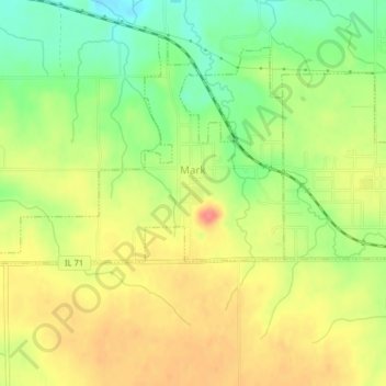
Location: Mark, Putnam County, Illinois, 61340, United States (41.25050 -89.28061 41.27488 -89.24060)
Average elevation: 207 m
Minimum elevation: 170 m
Maximum elevation: 241 m