
Poręba topographic map
Interactive map
Click on the map to display elevation.
About this map
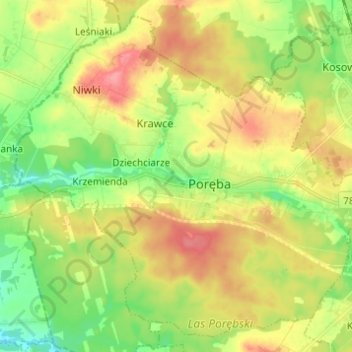
Name: Poręba topographic map, elevation, terrain.
Location: Poręba, Zawiercie County, Silesian Voivodeship, 42-480, Poland (50.45363 19.26989 50.52472 19.39225)
Average elevation: 325 m
Minimum elevation: 289 m
Maximum elevation: 366 m