
Kiroro topographic map
Interactive map
Click on the map to display elevation.
About this map
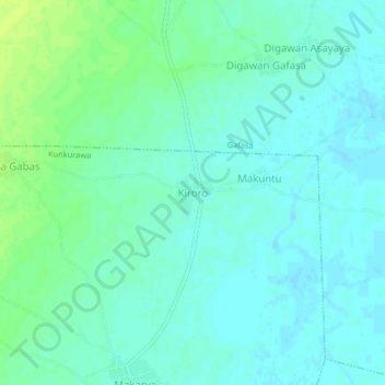
Name: Kiroro topographic map, elevation, terrain.
Location: Kiroro, Kunkurawa, Ajingi, Kano State, Nigeria (11.93940 9.09761 11.97940 9.13761)
Average elevation: 402 m
Minimum elevation: 397 m
Maximum elevation: 411 m