
Kulevi topographic map
Interactive map
Click on the map to display elevation.
About this map
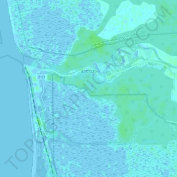
Name: Kulevi topographic map, elevation, terrain.
Location: Kulevi, Khobi Municipality, Samegrelo-Upper Svaneti, Georgia (42.25012 41.63138 42.28243 41.71673)
Average elevation: 1 m
Minimum elevation: -3 m
Maximum elevation: 6 m