
Ward 16 topographic map
Interactive map
Click on the map to display elevation.
About this map
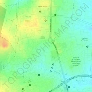
Name: Ward 16 topographic map, elevation, terrain.
Average elevation: 57 m
Minimum elevation: 39 m
Maximum elevation: 79 m
Other topographic maps
Click on a map to view its topography, its elevation and its terrain.
Vani Vihar
India > Odisha > Bhubaneswar (M.Corp.) > Bhubaneswar Municipal Corporation
Average elevation: 40 m