
Chatto topographic map
Interactive map
Click on the map to display elevation.
About this map
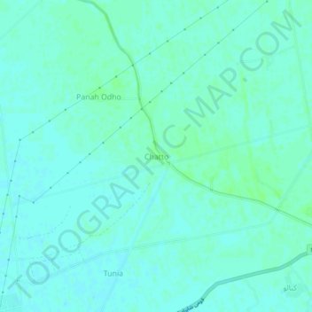
Name: Chatto topographic map, elevation, terrain.
Location: Chatto, Shikārpur District, Sindh, Pakistan (27.92196 68.50917 27.96196 68.54917)
Average elevation: 59 m
Minimum elevation: 56 m
Maximum elevation: 63 m
Other topographic maps
Click on a map to view its topography, its elevation and its terrain.
Chak
Pakistan > Sindh > Shikārpur District
Chak, Lakhi Taluka, Shikarpur District, Larkana Division, Sindh, Pakistan
Average elevation: 64 m