
Deurali topographic map
Interactive map
Click on the map to display elevation.
About this map
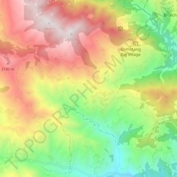
Name: Deurali topographic map, elevation, terrain.
Location: Deurali, Nuwakot, Bagmati, Central Development Region, Nepal (27.95354 85.04450 27.99963 85.12600)
Average elevation: 1,521 m
Minimum elevation: 696 m
Maximum elevation: 2,461 m