
Kühruh topographic map
Interactive map
Click on the map to display elevation.
About this map
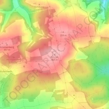
Name: Kühruh topographic map, elevation, terrain.
Location: Kühruh, Leinach, Landkreis Würzburg, Bayern, 97265, Deutschland (49.82756 9.82103 49.82766 9.82113)
Average elevation: 317 m
Minimum elevation: 232 m
Maximum elevation: 367 m
Other topographic maps
Click on a map to view its topography, its elevation and its terrain.
Leinach
Deutschland > Bayern > Landkreis Würzburg > Leinach
Leinach, Landkreis Würzburg, Bayern, 97274, Deutschland
Average elevation: 284 m