
Lol River topographic map
Interactive map
Click on the map to display elevation.
About this map
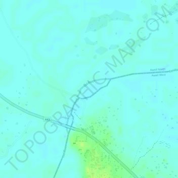
Name: Lol River topographic map, elevation, terrain.
Location: Lol River, Aweil North, Northern Bahr el Ghazal, South Sudan (9.15687 26.98393 9.16001 26.98916)
Average elevation: 439 m
Minimum elevation: 435 m
Maximum elevation: 448 m