
Peres topographic map
Interactive map
Click on the map to display elevation.
About this map
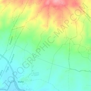
Name: Peres topographic map, elevation, terrain.
Location: Peres, Mafet, Agramunt, Urgel, Lérida, Catalogne, 25310, Espagne (41.80844 1.07901 41.82844 1.09901)
Average elevation: 373 m
Minimum elevation: 327 m
Maximum elevation: 453 m