
Viengkeo topographic map
Interactive map
Click on the map to display elevation.
About this map
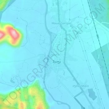
Name: Viengkeo topographic map, elevation, terrain.
Average elevation: 256 m
Minimum elevation: 225 m
Maximum elevation: 553 m
Other topographic maps
Click on a map to view its topography, its elevation and its terrain.
Vang Vieng
Laos > Vientiane Province > Vangvieng District
Vang Vieng, Vangvieng District, Vientiane Province, 00008, Laos
Average elevation: 308 m