
楼子湾村 topographic map
Interactive map
Click on the map to display elevation.
About this map
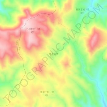
Name: 楼子湾村 topographic map, elevation, terrain.
Location: 楼子湾村, 张家口市, 河北省, 中国 (39.94824 114.32668 39.98824 114.36668)
Average elevation: 1,614 m
Minimum elevation: 1,364 m
Maximum elevation: 1,852 m
Other topographic maps
Click on a map to view its topography, its elevation and its terrain.