
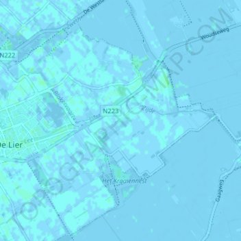
Oostbuurt topographic map
Interactive map
Click on the map to display elevation.
About this map
Name: Oostbuurt topographic map, elevation, terrain.
Average elevation: 0 m
Minimum elevation: -4 m
Maximum elevation: 3 m
Other topographic maps
Click on a map to view its topography, its elevation and its terrain.
Lierhand
Nederland > Zuid-Holland > De Lier
Lierhand, De Lier, Westland, Zuid-Holland, Nederland, 2636 AA, Nederland
Average elevation: 0 m