
Abetima topographic map
Interactive map
Click on the map to display elevation.
About this map
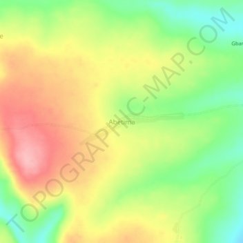
Name: Abetima topographic map, elevation, terrain.
Location: Abetima, Upper Manya Krobo District, Eastern Region, Ghana (6.28661 -0.12771 6.32661 -0.08771)
Average elevation: 215 m
Minimum elevation: 147 m
Maximum elevation: 283 m