
Пригородный topographic map
Interactive map
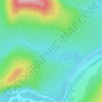
Click on the map to display elevation.
About this map
Name: Пригородный topographic map, elevation, terrain.
Average elevation: 551 m
Minimum elevation: 495 m
Maximum elevation: 713 m
Other topographic maps
Click on a map to view its topography, its elevation and its terrain.
Аячи
Rusland > Oblast Amoer > Аячи
Аячи, городское поселение Ерофей Павлович, Сковородинский район, Oblast Amoer, Federaal District Verre Oosten, Rusland
Average elevation: 629 m
Благовещенск
Rusland > Oblast Amoer > Благовещенск
Благовещенск, городской округ Благовещенск, Oblast Amoer, Federaal District Verre Oosten, Rusland
Average elevation: 170 m