
Omaha topographic map
Interactive map
Click on the map to display elevation.
About this map
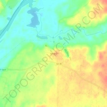
Name: Omaha topographic map, elevation, terrain.
Location: Omaha, Stewart County, Georgia, 31821, USA (32.12626 -85.03326 32.16626 -84.99326)
Average elevation: 78 m
Minimum elevation: 53 m
Maximum elevation: 107 m