
Teleghma topographic map
Interactive map
Click on the map to display elevation.
About this map
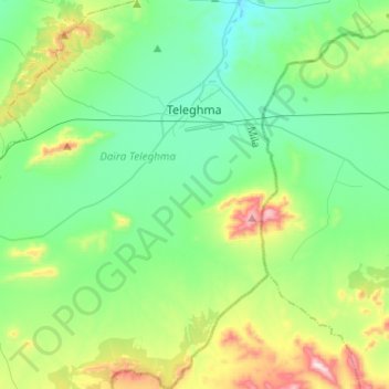
Name: Teleghma topographic map, elevation, terrain.
Location: Teleghma, Teleghma District, Mila, Algeria (35.97546 6.23946 36.17375 6.41714)
Average elevation: 857 m
Minimum elevation: 695 m
Maximum elevation: 1,346 m