
Brume topographic map
Interactive map
Click on the map to display elevation.
About this map
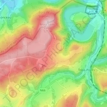
Name: Brume topographic map, elevation, terrain.
Location: Brume, Trois-Ponts, Verviers, Liège, Wallonie, 4980, Belgique (50.35888 5.83098 50.39888 5.87098)
Average elevation: 348 m
Minimum elevation: 202 m
Maximum elevation: 517 m