
Kuroshima Island topographic map
Interactive map
Click on the map to display elevation.
About this map
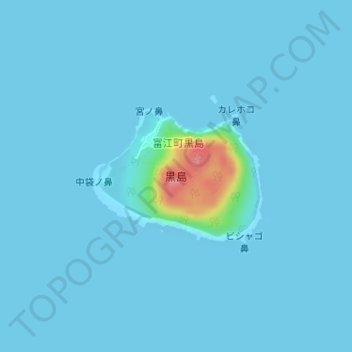
Name: Kuroshima Island topographic map, elevation, terrain.
Location: Kuroshima Island, Goto, Nagasaki Prefecture, Japan (32.59524 128.82628 32.60563 128.84186)
Average elevation: 4 m
Minimum elevation: -1 m
Maximum elevation: 88 m