
South Arm Township topographic map
Interactive map
Click on the map to display elevation.
About this map
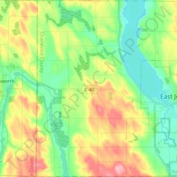
Name: South Arm Township topographic map, elevation, terrain.
Average elevation: 214 m
Minimum elevation: 165 m
Maximum elevation: 297 m
Other topographic maps
Click on a map to view its topography, its elevation and its terrain.
Charlevoix South Pier Light
United States > Michigan > Charlevoix County > Charlevoix
Average elevation: 180 m