
松本城 topographic map
Interactive map
Click on the map to display elevation.
About this map
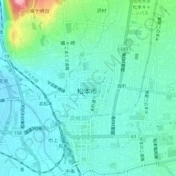
Name: 松本城 topographic map, elevation, terrain.
Location: 松本城, 埋橋, 丸の内, 葭町, 松本市, 長野県, 中部地方, 390-0874, 日本 (36.23855 137.96883 36.23865 137.96893)
Average elevation: 603 m
Minimum elevation: 575 m
Maximum elevation: 715 m
Other topographic maps
Click on a map to view its topography, its elevation and its terrain.