
Šilac topographic map
Interactive map
Click on the map to display elevation.
About this map
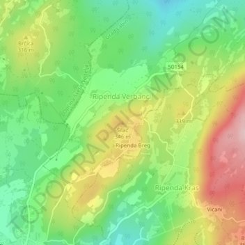
Name: Šilac topographic map, elevation, terrain.
Location: Šilac, Grad Labin, Istria County, 52230, Croatia (45.10700 14.14296 45.10710 14.14306)
Average elevation: 270 m
Minimum elevation: 169 m
Maximum elevation: 411 m