
Kaloa topographic map
Interactive map
Click on the map to display elevation.
About this map
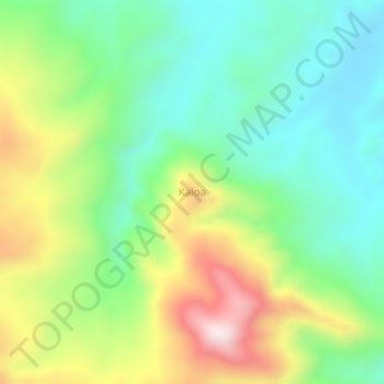
Name: Kaloa topographic map, elevation, terrain.
Location: Kaloa, Maluku Tengah, Moluques, Indonésie (-3.03919 129.59091 -2.99919 129.63091)
Average elevation: 287 m
Minimum elevation: 72 m
Maximum elevation: 676 m