Geolocate

Ulverton topographic map

Click on the map to display elevation.

About this map

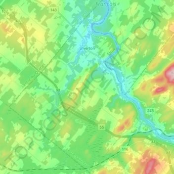
Name: Ulverton topographic map, elevation, terrain.

Location: Ulverton, Le Val-Saint-François, Estrie, Quebec, Canada (45.64624 -72.31126 45.75622 -72.19341)

Average elevation: 174 m

Minimum elevation: 103 m

Maximum elevation: 338 m

Other topographic maps

Click on a map to view its topography, its elevation and its terrain.

Gear up for your next adventure:

🔦Keychain LED Torches - Emergency backup light for finding gear in your pack
💧Hydration Reservoirs - Convenient water bladders for hands-free drinking on the move
🚶Walking Pedometers - Simple distance tracking for casual trail walkers
🧊Personal Water Filters - Drink safely from mountain streams marked on your map
📢Survival Whistles - Essential safety gear for signaling for help in mountain fog

As an Amazon Associate, this site earns from qualifying purchases at no extra cost to you.