
Arcade topographic map
Interactive map
Click on the map to display elevation.
About this map
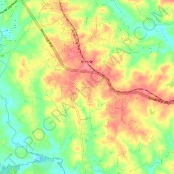
Name: Arcade topographic map, elevation, terrain.
Location: Arcade, Jackson County, Georgia, United States (34.03356 -83.58284 34.10226 -83.50319)
Average elevation: 237 m
Minimum elevation: 201 m
Maximum elevation: 273 m