
Lockwood topographic map
Interactive map
Click on the map to display elevation.
About this map
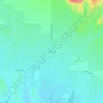
Name: Lockwood topographic map, elevation, terrain.
Location: Lockwood, Monterey County, California, 93932, USA (35.92422 -121.10188 35.96422 -121.06188)
Average elevation: 307 m
Minimum elevation: 276 m
Maximum elevation: 447 m