
Shady Ridge topographic map
Interactive map
Click on the map to display elevation.
About this map
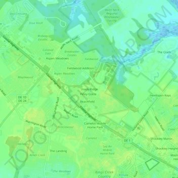
Name: Shady Ridge topographic map, elevation, terrain.
Location: Shady Ridge, Sussex County, Delaware, 19971, USA (38.70789 -75.14129 38.74789 -75.10129)
Average elevation: 8 m
Minimum elevation: -4 m
Maximum elevation: 12 m